In three online sessions, Prof. Dr Olaf Schroth, holder of the Chair in Landscape Information Models at Weihenstephan-Triesdorf University of Applied Sciences, and our junior representative Jakob Endemann will provide a practical insight into GIS and the open-source software QGIS.
The sessions will cover fundamental concepts, geodata sources and typical workflows – from spatial analysis to further processing in other planning programmes.
The series is aimed at landscape architects, landscape planners and others working in the field of planning, particularly those with little or no experience of QGIS and a background in CAD or ArcGIS. Rather than a step-by-step software course, the focus is on illustrative examples and providing opportunities for questions and professional discussion.
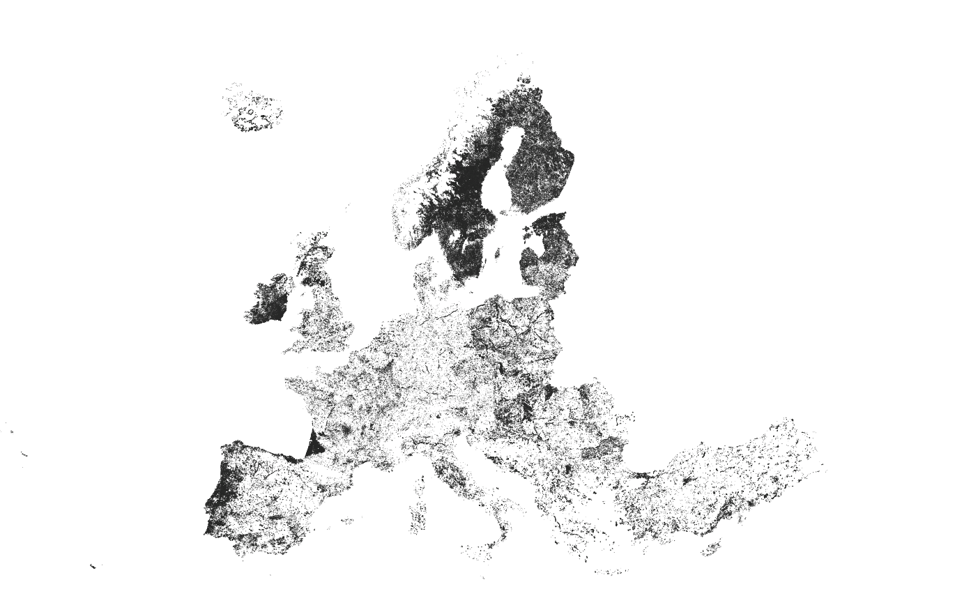
This is because, whilst GIS is a standard tool in landscape planning, its potential is often not yet fully exploited in landscape architecture – even though a wide variety of geodata is now available to download free of charge as open data, and editing it is possible using open-source software that is user-friendly even for beginners.
What distinguishes a geoinformation system from a CAD programme? Where can suitable geodata be sourced, and how can it be used for landscape architecture and landscape planning tasks?
Our experts each presented a set of topics at a single session, followed by a discussion.
Introduction to GIS – Fundamentals and Planning Applications
Thursday, 12 November 2026, 6.00 pm
– 7.30 pm
The session will begin by covering the basic principles of geographic information systems: How do GIS and CAD differ? What are vector and raster data, attribute data and spatial relationships, and why are coordinate systems important? Using a simple landscape planning workflow, we will demonstrate how spatial information can be linked, analysed using basic tools and presented cartographically in QGIS.
1. Introduction to GIS – Fundamentals and planning applications
- What is GIS? Geodata, attribute data, spatial relationships and tools; how it differs from CAD.
- How does GIS represent the world? Vector and raster data, including terrain data, attribute tables and WMS services.
- Spatial reference: Why are coordinate systems important?
2. GIS in landscape planning
- Example of a planning workflow: buffer analysis → intersection analysis → spatial selection → calculation → result → cartographic representation.
Finding and using geodata – from the data source to planning
Thursday, 26 November 2026, 6.00 pm – 7.30 pm
What geospatial data is available for projects in Bavaria, and how can it be integrated into your own workflow? This event will introduce official geobasis and specialist data, open data, and options for collecting your own data. It will explain data formats, coordinate systems and the difference between map services such as WMS and editable geospatial data. A practical example will demonstrate how to process and transfer data from QGIS to a CAD programme. An overview of resources will facilitate further independent research.
1. Where does the data come from?
- Official geodata (geobasis data).
- Subject-specific geodata.
- Open Data and other data portals.
- Own data collection (GPS, surveying, drones).
- Data access and use: formats, coordinate systems, licences and WMS services, as distinct from editable geodata.
2. Practical example: Geodata in everyday office work
- Processing building floor plans in QGIS and exporting them to a CAD programme.
- Supplementary: List of resources and links to selected geodata sources in Bavaria.
GIS in Transition – QGIS, XPlanung and GeoAI
Thursday, 28 January 2027, 6.00 pm
– 7.30 pm
To conclude, we will look at further tools and developments for planning practice. QGIS, as an open-source application, will be compared with ArcGIS; the interface with XPlanung, as well as selected extensions and automation options, will also be presented. An overview of Python scripts and AI-supported GIS applications highlights potential next steps, without requiring any prior programming knowledge.
1. Open source: QGIS compared to ArcGIS. An overview of the programmes and their applications in planning practice.
2. XPlanung. Introduction and significance for the exchange of planning data.
3. Extensions, automation and GeoAI
- Selected QGIS plugins and illustrative use cases.
- Outlook on Python scripts and AI-powered GIS applications.
Registration: Registration links are currently being prepared and will be activated shortly.
Participation fee: The participation fee generally covers a presentation lasting approximately one hour, followed by a discussion. It is €35 for members of the bdla and the VGL, and €70 for non-members per presentation. Participation is free of charge for students.
Participation: The link to join the digital training session, along with instructions on how to use the GoTo Meeting platform, will be sent by email the day before the event.
Organiser: bdla Bavaria in cooperation with VGL Bavaria
- Latitude: 0
- Longitude: 0